Aerial Photography
Since 2015, we have held official authorisation from the Civil Aviation Authority (CAA) to offer commercial aerial video and photography services to our clients.
ground photography / video
We have an in-house team of media experts
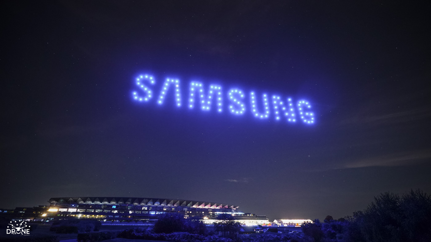
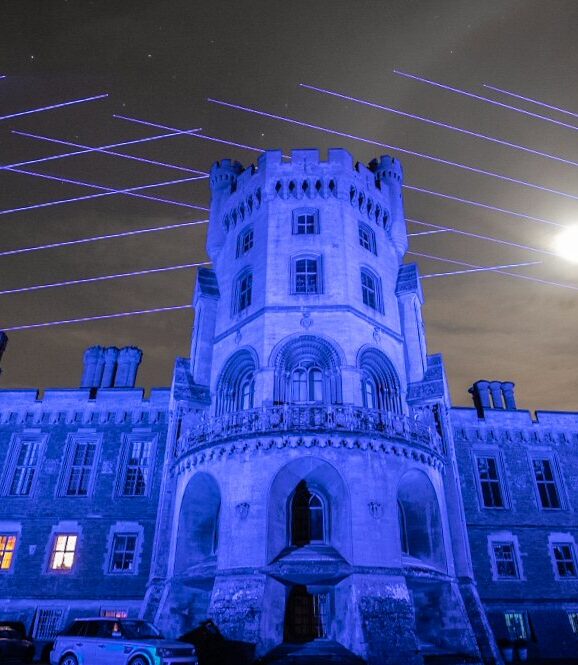
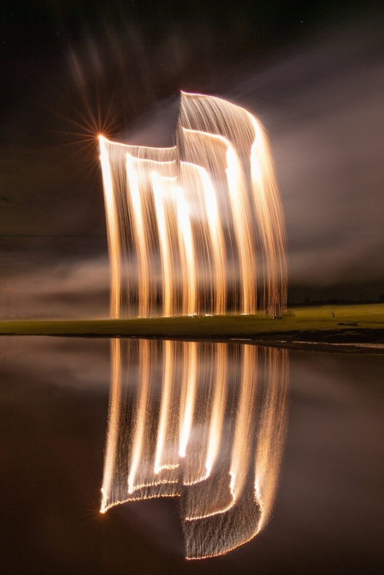
Experts in capturing drone shows, fireworks, lasers and lighting – all of the things we offer.
However we also work at events and on projects where we are purely present filming or photographing.
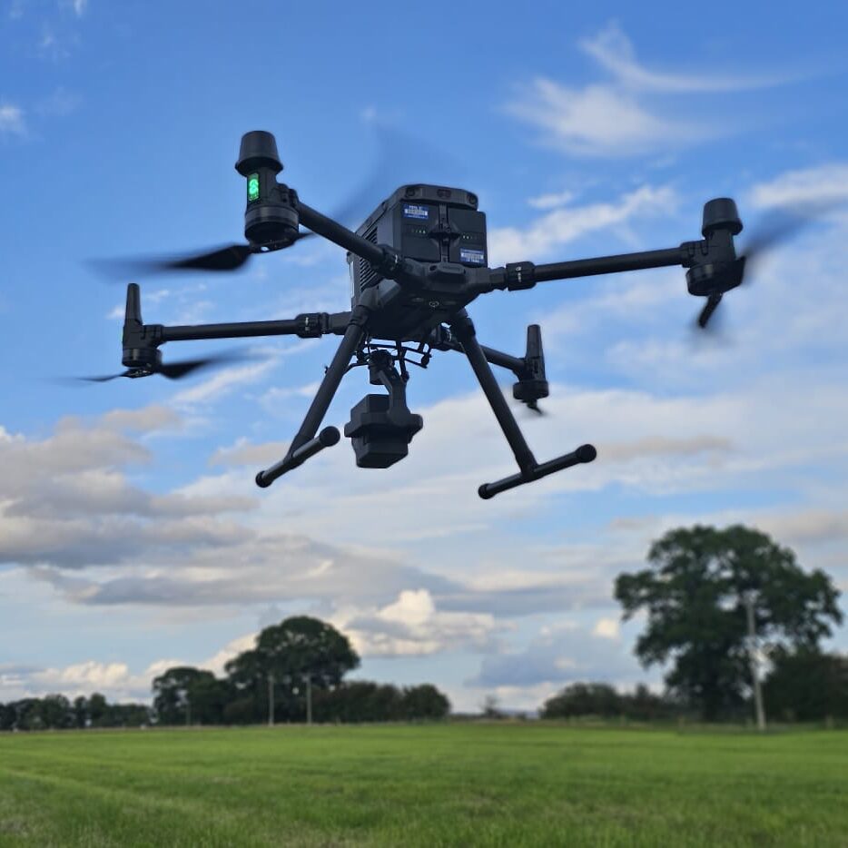
We use LiDAR technology to produce cm accurate ground surveys and 3D models.
Drone LiDAR surveys represent a cutting-edge technology revolutionising the field of remote sensing and environmental monitoring. These surveys involve drones with Light Detection and Ranging (LiDAR) systems, which emit laser pulses to measure distances and create highly detailed 3D maps of the terrain below. This innovative approach provides numerous benefits, including rapid data collection over large areas, the ability to penetrate dense vegetation, and exceptional precision in terrain modeling. Drone LiDAR surveys are invaluable for a wide range of applications, from topographic mapping and forestry management to infrastructure inspection and disaster response. This advanced technology has the potential to transform industries that rely on accurate and up-to-date spatial data for decision-making and planning.
Real environment Show Previews
LiDAR data is used to create a virtual environment
We scan the location with our LiDAR technology and generate a 3D model that is imported into our software enabling us to provide a simulation of your drone light show – at your very location.
Industry leading technology
We use proprietary software to produce industry leading realism in our simulations. The data is also invaluable for navigating around any site features such as trees.
Capturing that special moment